 vesseltracker.com
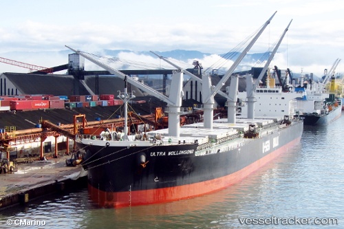
Vessel '477716500' IMO: 9566576, MMSI: 477716500
UTC, 23.17325, 117.64552, course: 40, speed: 10.8
UTC, 23.30416, 117.74743, course: 29, speed: 10.8
2026-02-12 12:22:28 UTC, 23.65690, 118.18969, course: 44, speed: 10.4
Live AIS position:
UTC. 31 nm NE of Nanao Pt),
updated 2026-02-12 12:22:28 UTC.
Find the position of the vessel '477716500' on the map. The latter are known coordinates and path.
marine traffic ship tracker show on live map
The current position of vessel '477716500' is 23.65690 lat / 118.18969 lng. Updated: 2026-02-12 12:22:28 UTCDetails:
Last coordinates of the vessel:
UTC, 22.88293, 117.41807, course: 36, speed: 10.7UTC, 23.17325, 117.64552, course: 40, speed: 10.8
UTC, 23.30416, 117.74743, course: 29, speed: 10.8
2026-02-12 12:22:28 UTC, 23.65690, 118.18969, course: 44, speed: 10.4